
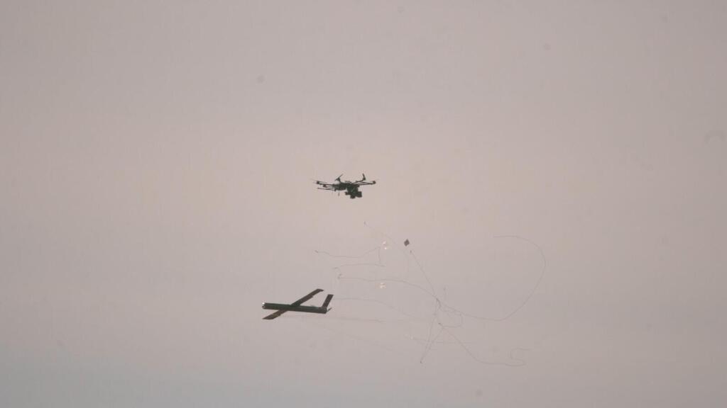
Israel uses 'AI-driven aerial scans' to detect Bedouin structures in Negev
The Negev Desert covers about 60% of Israel's southern landmass, separate from the northern West Bank's Palestinian territories, and hosts ongoing land conflicts between the state and 300,000 Bedouin Arabs, whose nomadic traditions conflict with zoning regulations.
Israel Lands Authority (ILA) inspectors, with police support, launched Operation “Southern Hawk 3” on Monday to target alleged illegal encroachments on state lands in the Negev.
The operation focused on new structures near Beersheba city, Bedouin town Sa’wa, and Nevatim Air Force base.
AI-driven aerial scans detected unauthorized buildings, leading to hundreds of demolition notices.
In September, ILA and police razed the Al-Sir Bedouin outpost on orders from National Security Minister Itamar Ben-Gvir, vacating land for a planned residential neighborhood in the community's west to advance development and enforce planning.
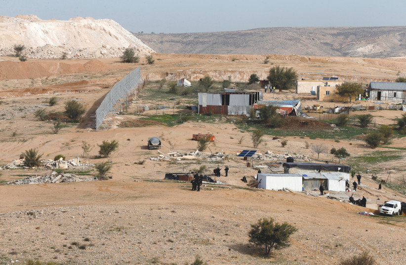
Some Bedouin residents torched their homes in protest; police used crowd-control methods to prevent escalation.
Ben-Gvir stated: “Slowly, but surely, we are taking back the Negev lands. This operation is a central pillar of the policy to restore sovereignty and eradicate the phenomenon of illegal construction in the Negev and across the country.”
Bir Hadaj leader Salman Ibn Hamed, former Neve Midbar Regional Council director-general, responded: “They are serving the whims of Ben-Gvir and this extremist government. What we are seeing here is destruction, not solutions. People here are begging for solutions, and the government only knows how to destroy.”