
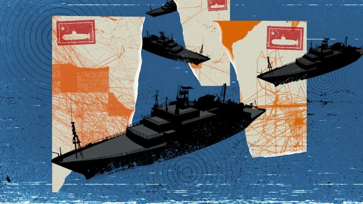
China is mapping the ocean floor as it prepares for submarine warfare with the US
China is aggressively mapping the ocean floor across vast areas of the Pacific, Indian, and Arctic oceans as part of deliberate preparations for submarine warfare against the United States.
Dozens of Chinese research vessels, including the Dong Fang Hong 3 operated by Ocean University of China, have conducted extensive seabed surveys in strategically critical zones. These include waters near Taiwan, around the U.S. stronghold of Guam, approaches to the Malacca Strait, areas surrounding Hawaii and the Philippines, and routes near U.S. facilities on Wake Atoll.

The data collected provides Beijing with detailed knowledge of underwater terrain, water temperature, salinity, and currents. This information is essential for stealthy submarine navigation, concealment, effective deployment of seabed sensors and weapons, and hunting adversary submarines.
Naval experts and U.S. officials confirm the operation has clear military applications.
The scale and focus of the mapping go far beyond civilian research or mineral exploration. It enables China to optimize sonar performance and break out beyond the First Island Chain.

Under President Xi Jinping’s civil-military fusion policy, scientific research is rapidly converted into combat capabilities.
One Chinese researcher explicitly stated the goal is to transform advanced scientific achievements into “new types of combat capabilities for our military at sea.”

Rear Admiral Mike Brookes, commander of the U.S. Office of Naval Intelligence, warned that China’s expanded surveying provides data that enables submarine navigation, concealment, and positioning of seabed sensors or weapons.
The effort includes deployment of hundreds of ocean sensors forming a “transparent ocean” network for real-time monitoring of subsea movements.
This systematic campaign reveals Beijing’s long-term strategy to erode America’s historical undersea advantage and prepare for high-stakes submarine conflict in the Pacific.